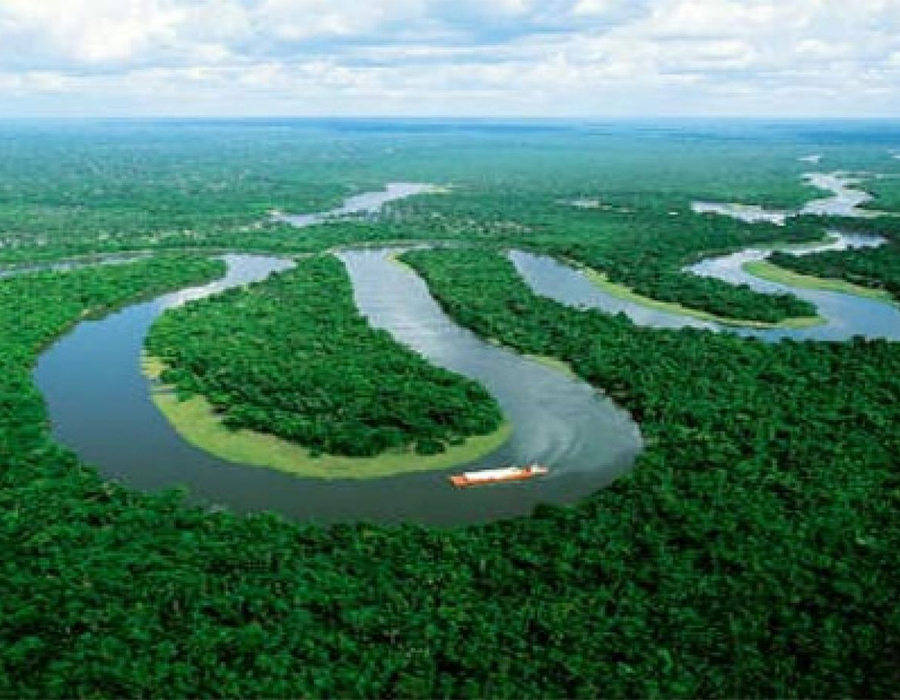
The major physical feature in Tana River County is an undulating plain that is interrupted in a few places by low hills at Bilbil around Madogo and Bura divisions. The land in Tana river generally slopes south eastwards with an altitude that ranges between 20m to 200m above sea level at the top of the Bilbil hills. The River Tana traverses the county from Tharaka County in the North to the Indian Ocean in the South passing through Tana Delta and covering a stretch of approximately 500km.
The most striking topographical feature is the River Tana that traverses the county from the Aberdares in the North to the Indian Ocean in the South covering a stretch of approximately 500km.